The extension day. No driving to speak of, no itinerary, nowhere to be. A small trip into Griffith for supplies, the kids (and adults) let loose in the park, and then back to the lake for more of what we were already doing. A properly cruisy day.
Griffith
Griffith was the supply run, but it turned out to be more interesting than a Coles car park. The town centre is built on a ring, with the streets radiating out from it, and the playground the kids disappeared into sits in Burley Griffin park.
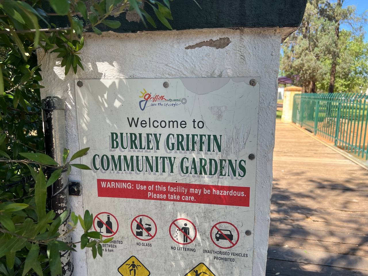 The Burley Griffin name is everywhere in this town, including the community gardens.
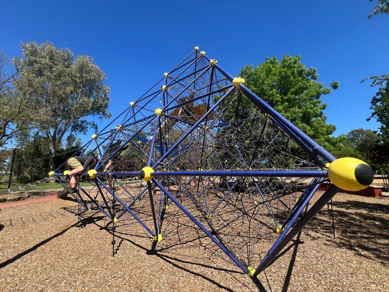 The rope pyramid at the park. The kids were gone for some time.
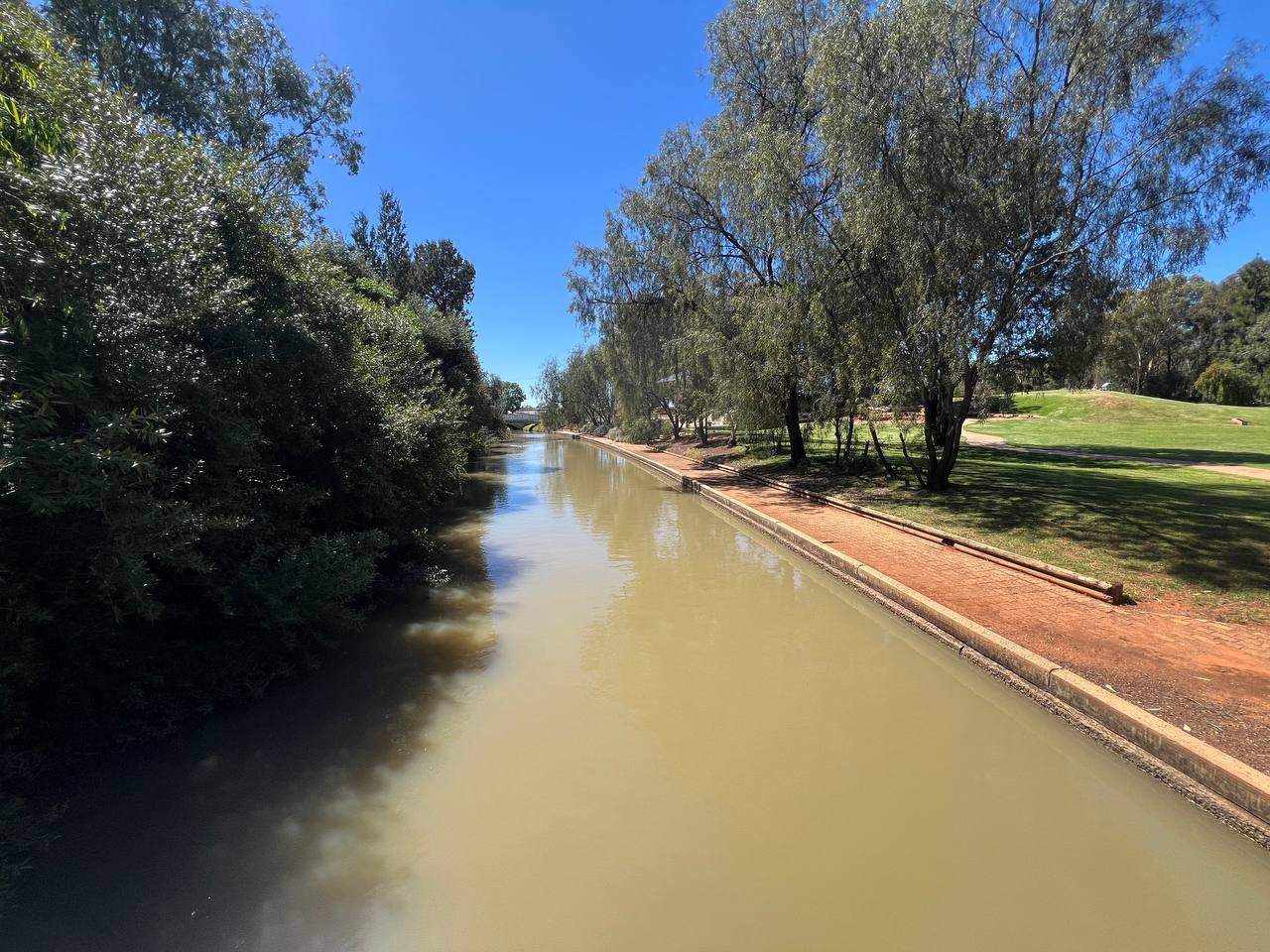 One of the irrigation channels running through Griffith, with parkland on the banks.
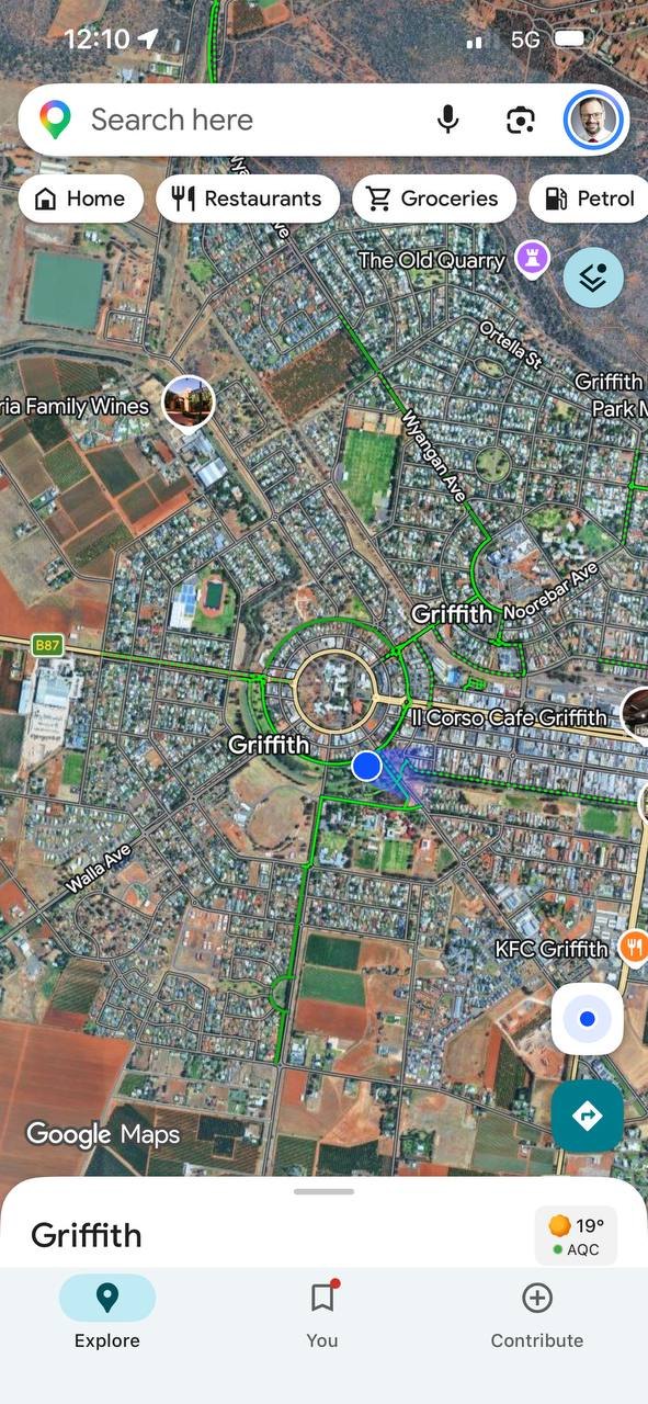 The plan, still visible from above: Griffith's ring road and radiating streets on the satellite view.
That circular layout is not an accident, and the park name is not a coincidence.
The Man Behind The Plan
Griffith was designed by Walter Burley Griffin and Marion Mahony Griffin, the same American architects who won the international competition to design Canberra in 1912. When the Murrumbidgee Irrigation Scheme needed new towns, the Griffins were brought in, and Griffith and nearby Leeton were laid out to their plans. The town was proclaimed in 1916.
The name is a quirk, though. Griffith was named after Arthur Hill Griffith, the NSW Minister for Public Works at the time and a champion of the irrigation scheme, not after its designer. Two Griffins, no relation.
The design choices echo Canberra, scaled down for a country town: a geometric plan with a ring road around the centre, streets radiating outward, wide tree-lined avenues and generous parks. Drive in from any direction and you end up on the ring.
Sources: Wikipedia, Aussie Towns, Odyssey Traveller
A fitting last town for this trip: we finish our loop in a place designed by the same man who designed where we live.
One fuel stop on the way through: 26.79 litres for $76.88 at 286.9 a litre. Not the cheapest of the trip, but after Broken Hill and Balranald, nothing shocks us anymore.
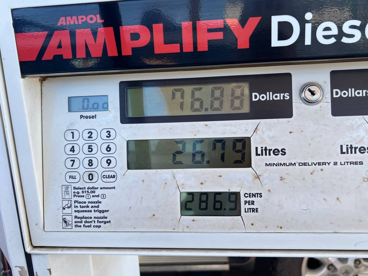 The Ampol bowser doing its best to look like it has seen some things.
Back At The Lake
Then back to site 11 at the Malt House, where the kids picked up exactly where they left off: fishing for Murray cod in the lake and hitting floating golf balls off the terrace. And this time the cod lost. A proper Murray cod, caught, photographed, and released back to grow bigger.
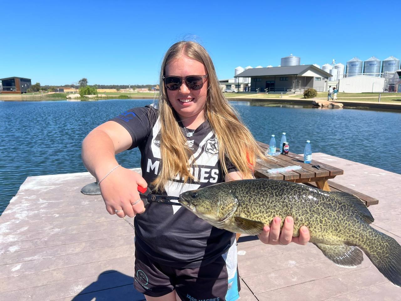 Catch and release. The cod's side of the story is not recorded.
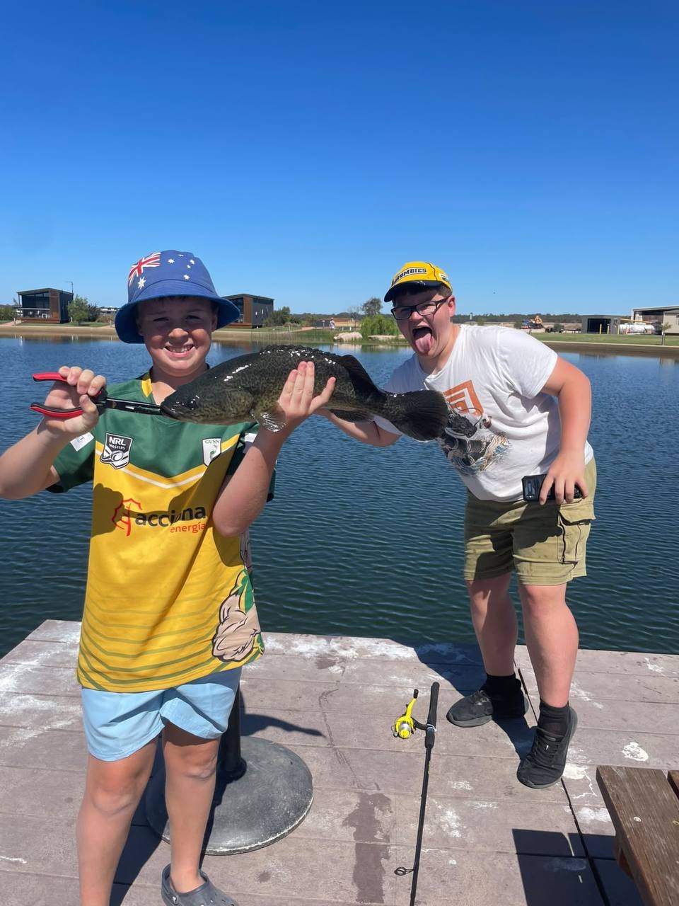 Teamwork makes the dream work.
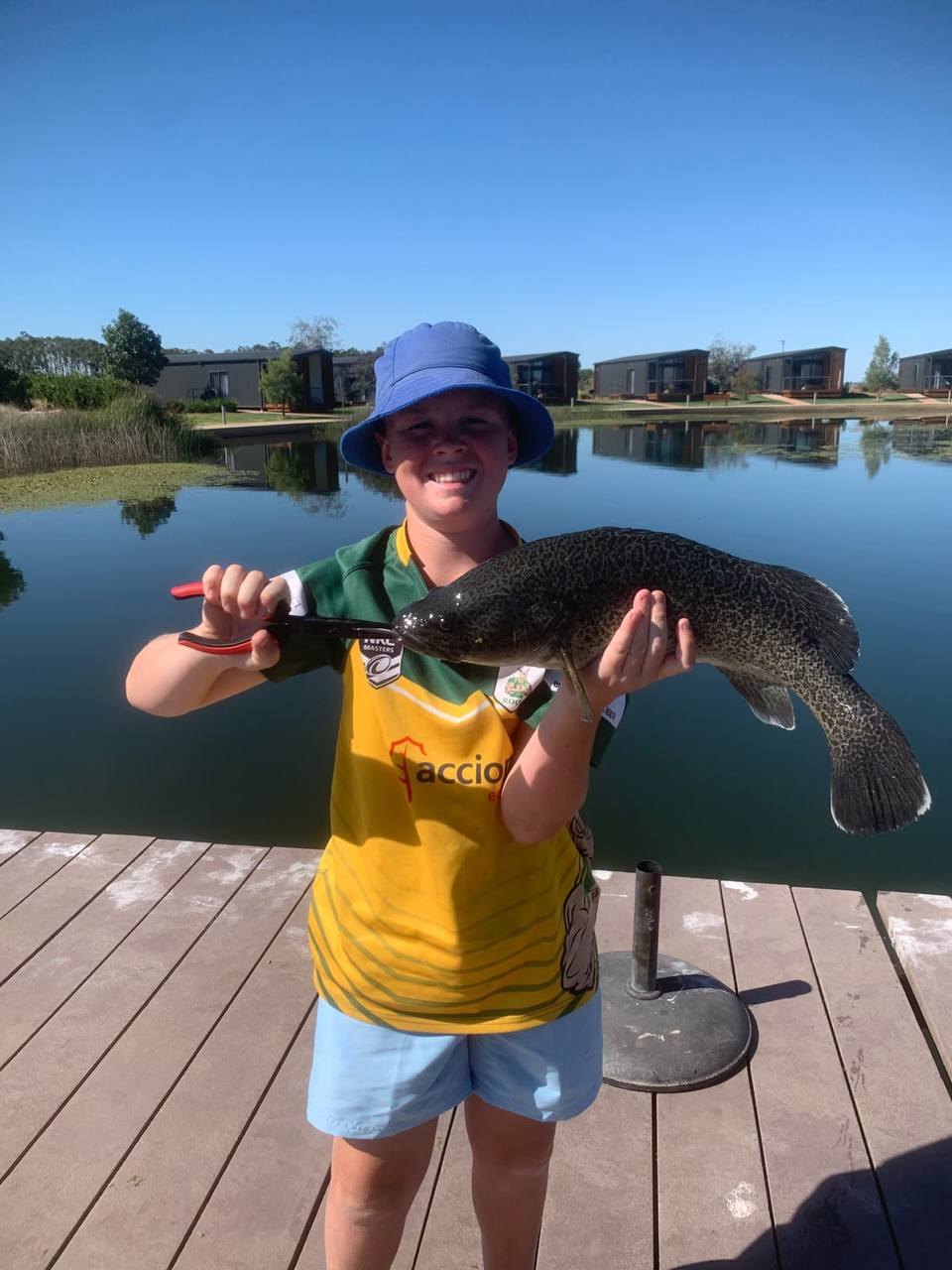 The size of the grin matches the size of the fish.
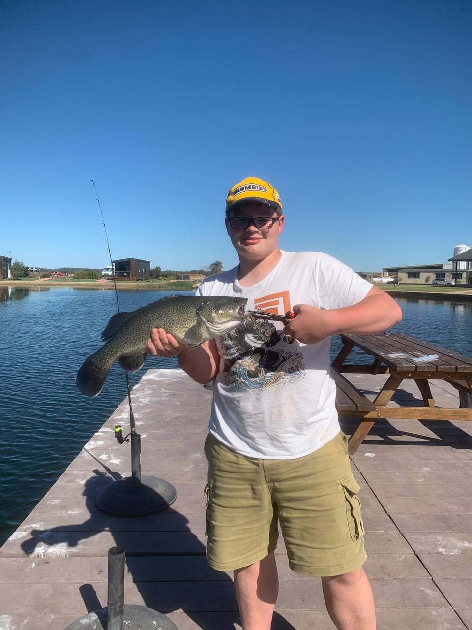 James with his catch. I really hope this wasn't the same, poor fish!
Where The Water Comes From
Everything around here, the citrus orchards, the vineyards, the rice, the cotton, the almonds, the wheat, runs on water from the Murrumbidgee. This is the Murrumbidgee Irrigation Area, one of the oldest and most productive irrigation schemes in the country.
The water starts in the mountains. Burrinjuck Dam on the upper Murrumbidgee has been feeding the scheme since 1912, and was completed in its enlarged form in 1929. Blowering Dam on the Tumut River joined it in 1968. Between them they hold about 2.66 million megalitres. Water is released down the river and diverted through a network of weirs, canals and holding ponds, channels like the one above, out to the farms.
The towns were built for it too: Griffith and Leeton were purpose-planned for the scheme, which is how Walter Burley Griffin ended up designing a town in the middle of the Riverina. Around 70 percent of the irrigation footprint here is irrigated cropping and horticulture: rice, citrus, grapes, cotton (grown in the catchment since 2010), almonds and pasture, with dryland cereal cropping and grazing across the wider catchment. The region even grows Murray cod in aquaculture, so the kids were fishing in the right neighbourhood.
Sources: NSW DPI Murrumbidgee Catchment Irrigation Profile, Murray-Darling Basin Authority, Irrigation Leader
One More Sunset
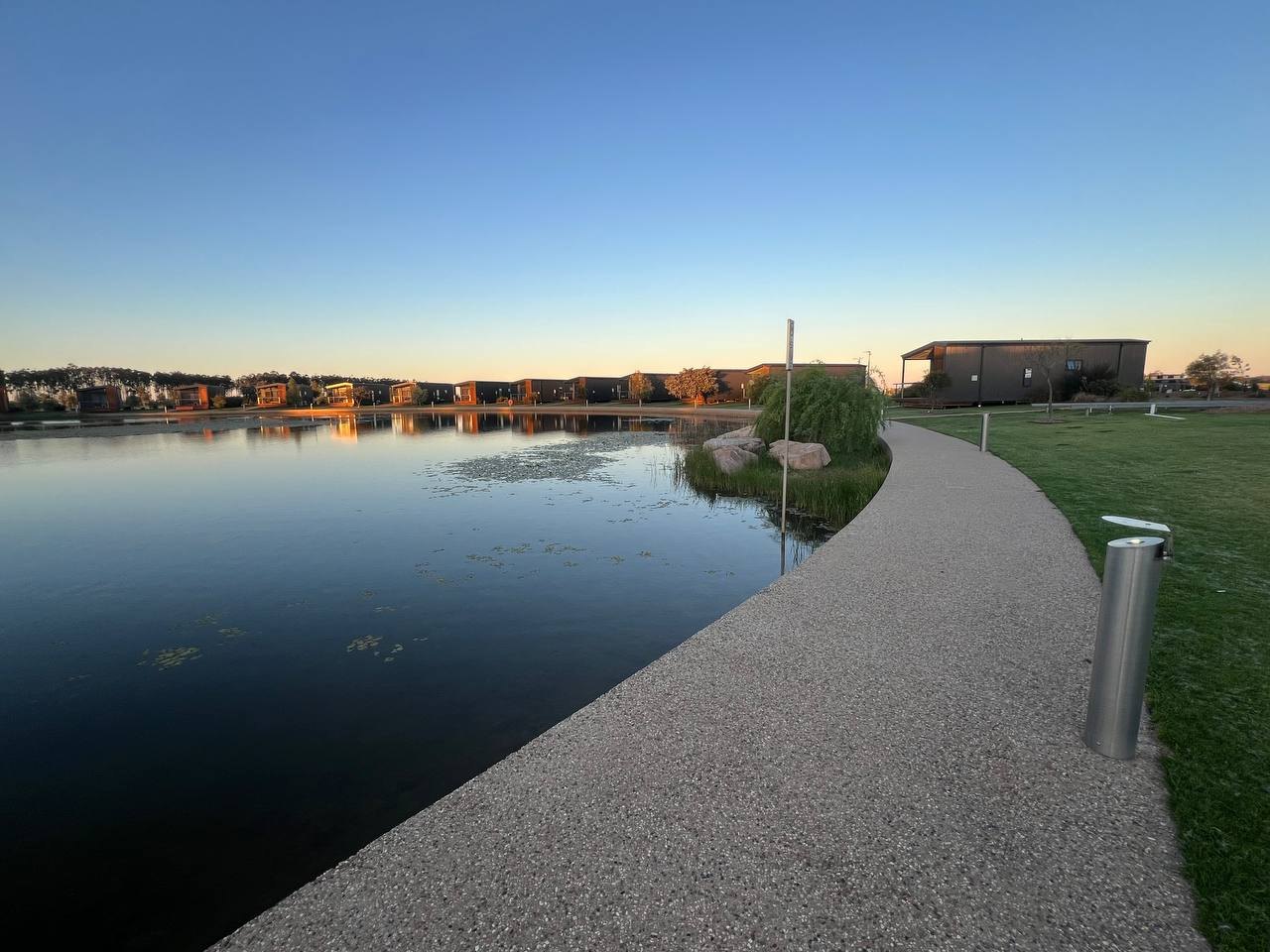 The lake doing its thing again at the end of the day.
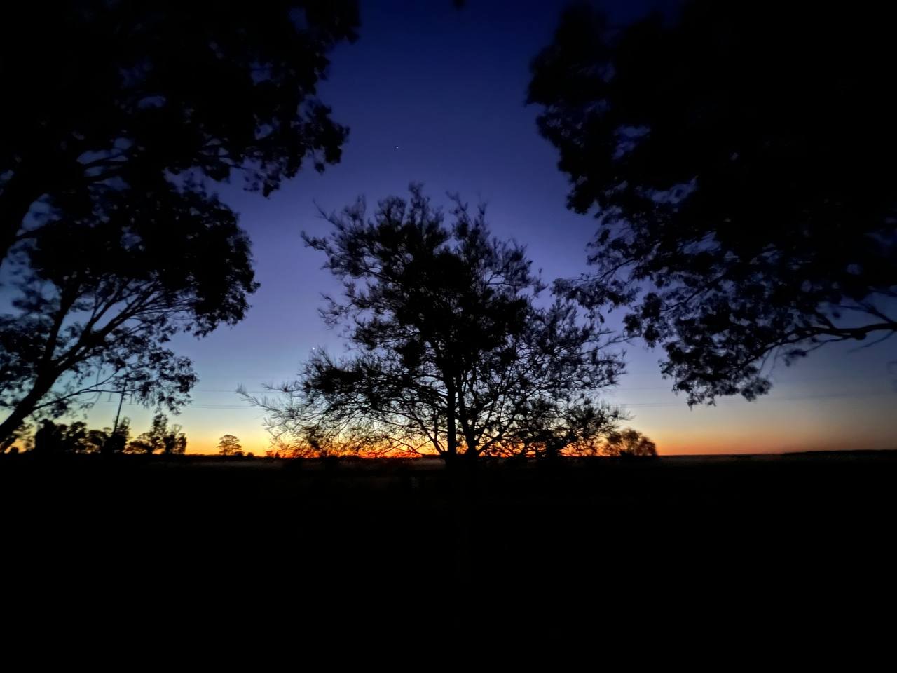 The evening star. No city glow out here to compete with it.
The day finished the way the previous one did, only later and darker: aqua golf under lights, hitting balls into the black towards the glowing targets on the lake.
Aqua golf after dark. The targets glow, the results vary.
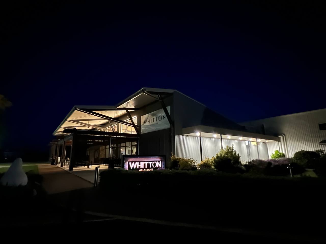 The Malt House after dark, on the walk back to site 11.
The plan was one night and then home. The plan became two nights and then home. Tomorrow, for real: home.